Curve_One
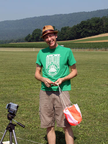
Blain, PA.
About to connect the parachute to the payload.
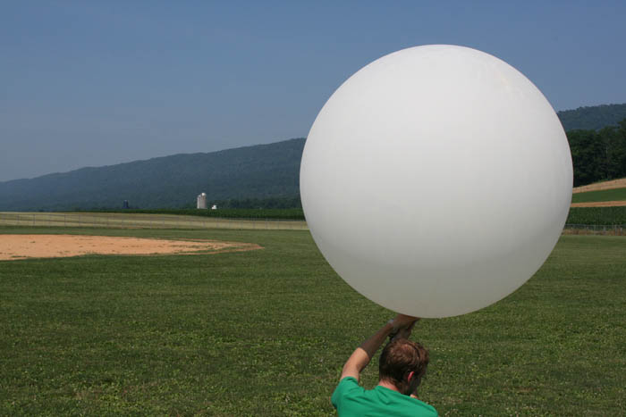
Filling the balloon.
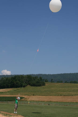
Moment Curve_One was launched.
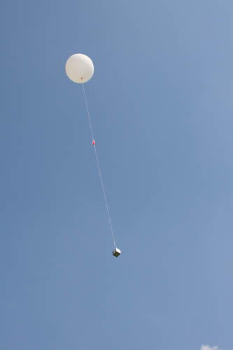
Curve_One in flight.
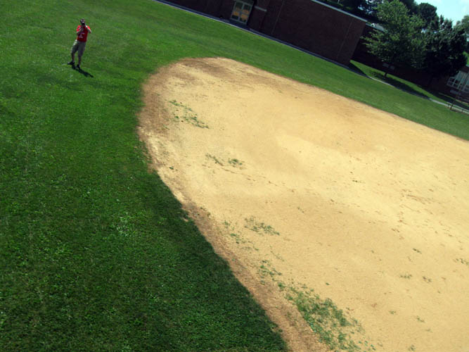
Image from Curve_One launch. Initial photo capturing Brad photographing the launch.
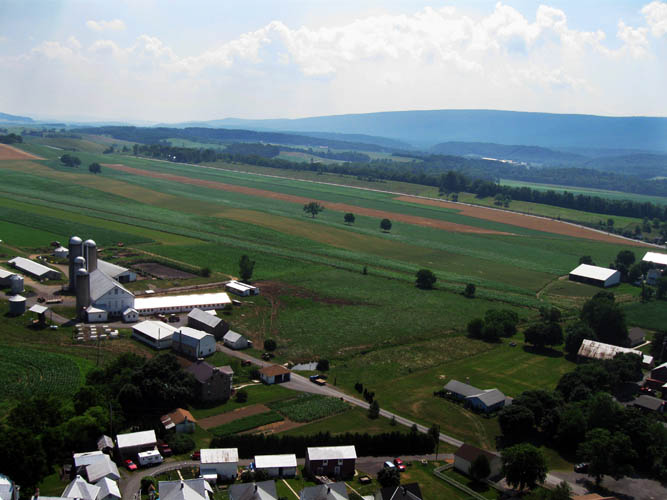
900 feet: Single Trees
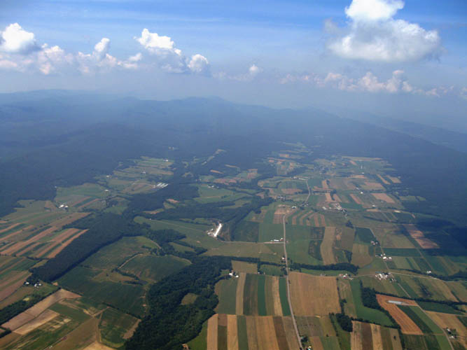
3,900 feet: Looking Southwest along Mt. Pleasant Road.
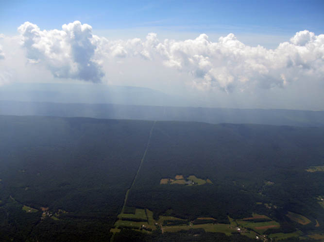
6,000 feet: Looking Southeast along utility easement.
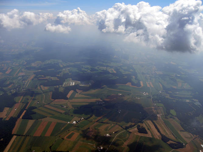
6,800 feet: Looking East around Route 274.
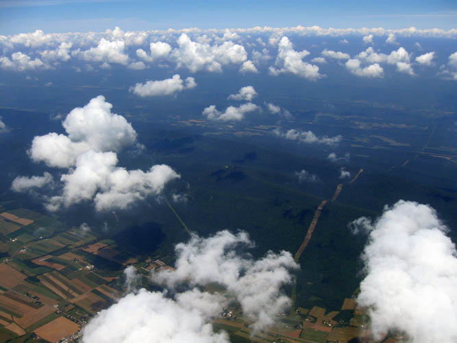
9,000 feet: Looking Northwest along two utility easements.
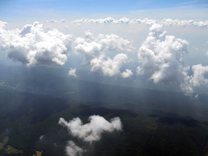
9,100 feet: Looking Southeast along mountain ridge line.
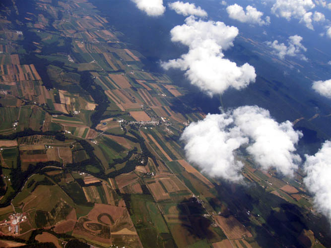
10,250 feet: Looking West. The two ballfields in the center of the image was the launch site.
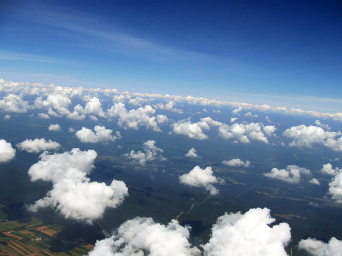
10,325 feet: Looking West above the cloud line with utility easements.
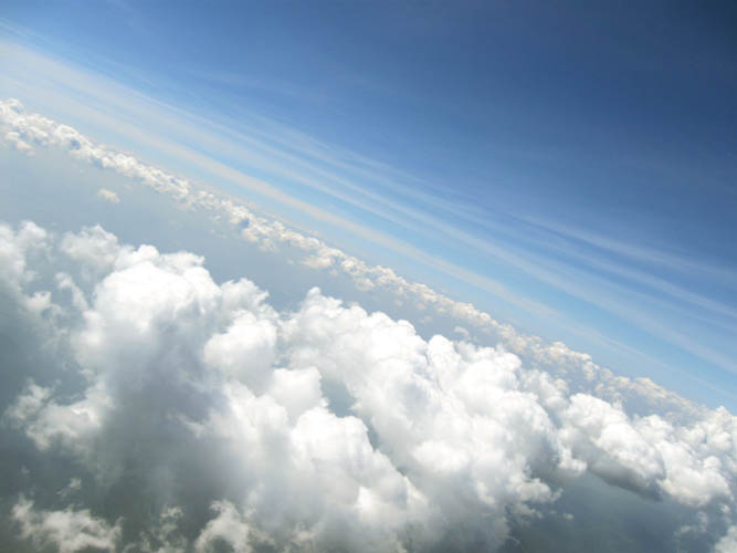
10,475 feet: Altocumulus clouds #1
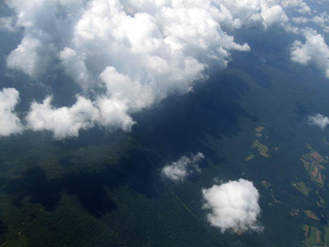
11,250 feet: Looking Southwest.
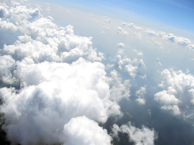
11,900 feet: Altocumulus clouds #2
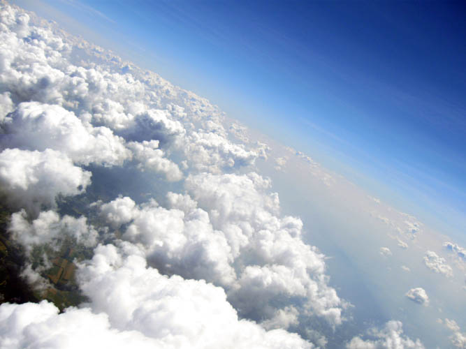
12,400 feet: Looking East with Landisburg visible in the cloud break
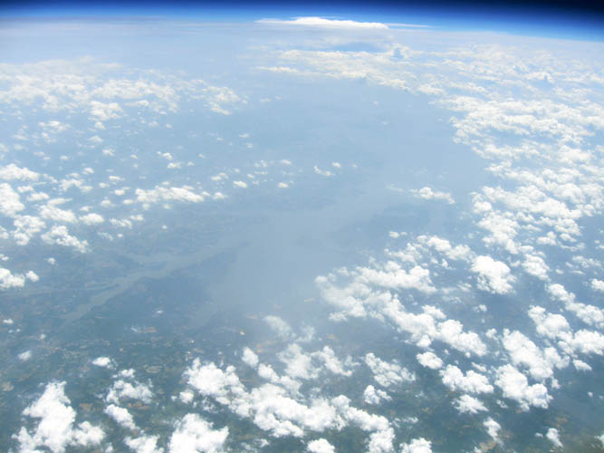
76,525 feet: Looking South at the Susquehanna River and Chesapeake Bay
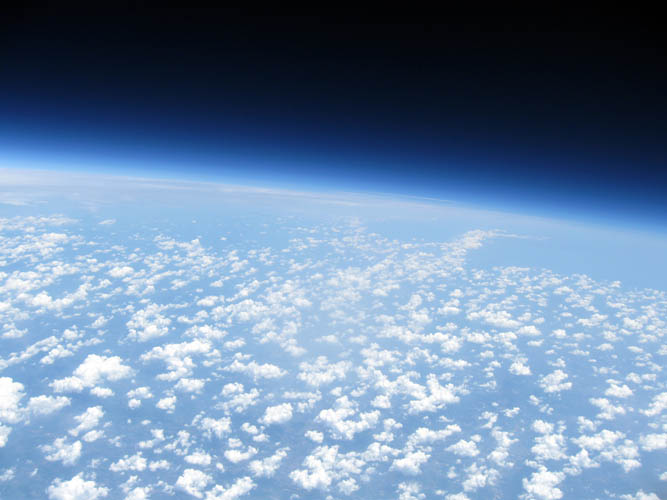
Image from Curve_One launch. 79,000 feet: Looking Northeast, Philadelphia on right side
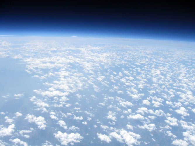
80,800 feet: Looking Southwest towards Baltimore
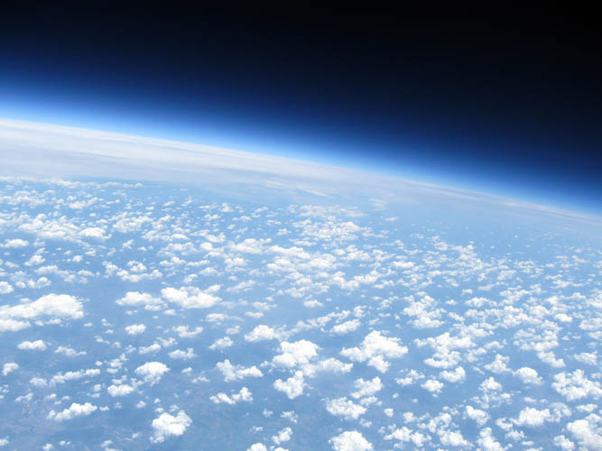
81,450 feet: Looking Northeast towards Lebanon, PA
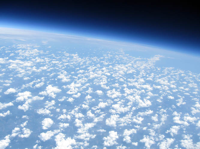
82,300 feet: Looking North
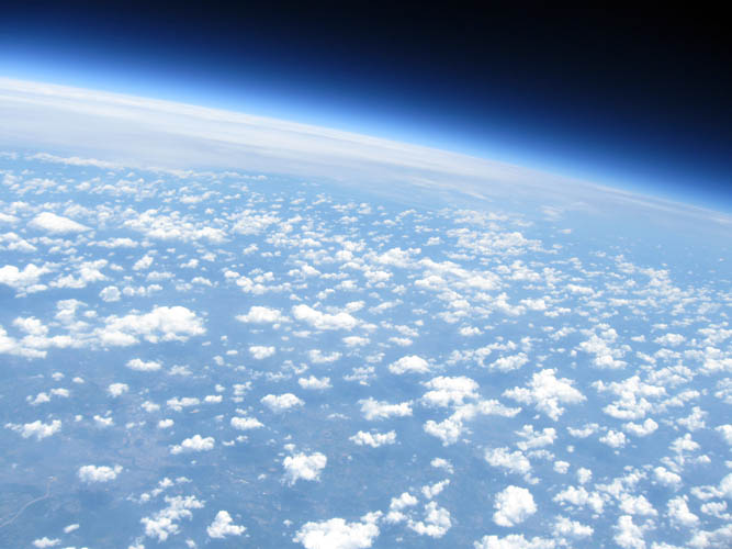
82,750 feet: Looking Northeast
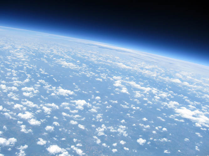
84,150 feet: Looking West
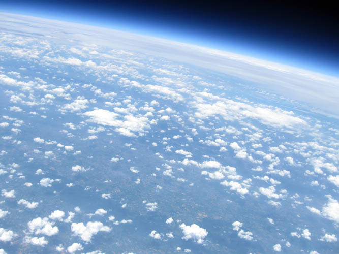
88,100 feet: Looking West
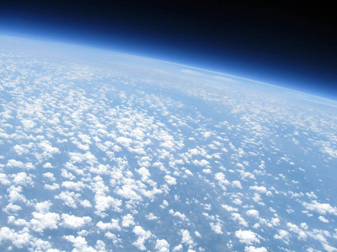
88,650 feet: Looking Southwest
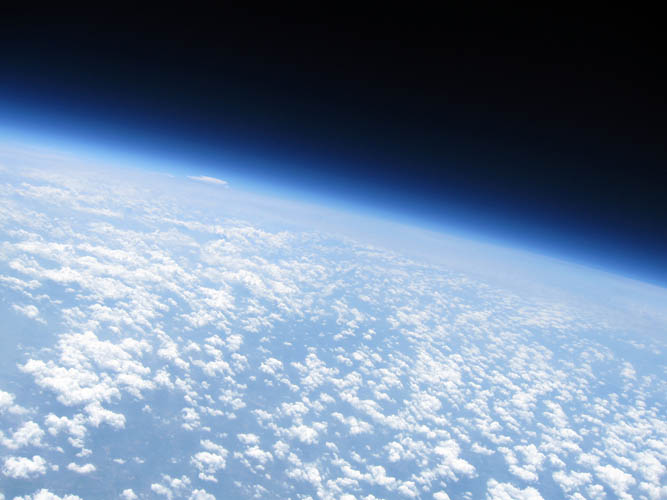
91,103 feet: Looking Southwest
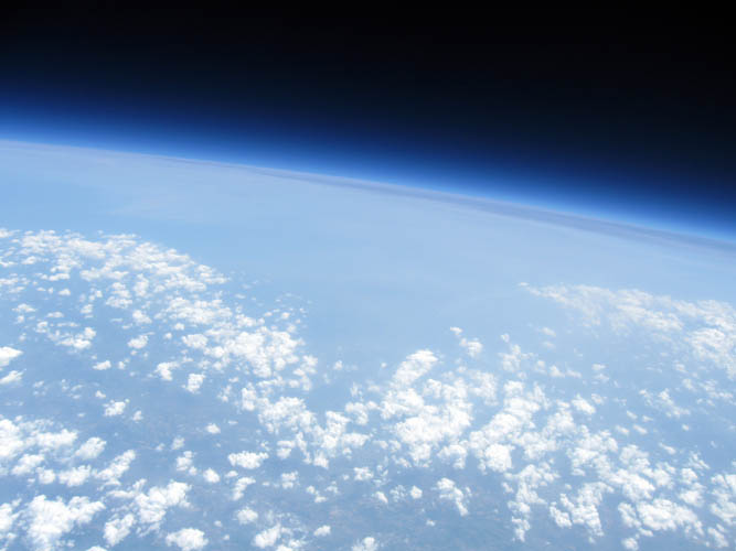
92,174 feet: Looking Southeast
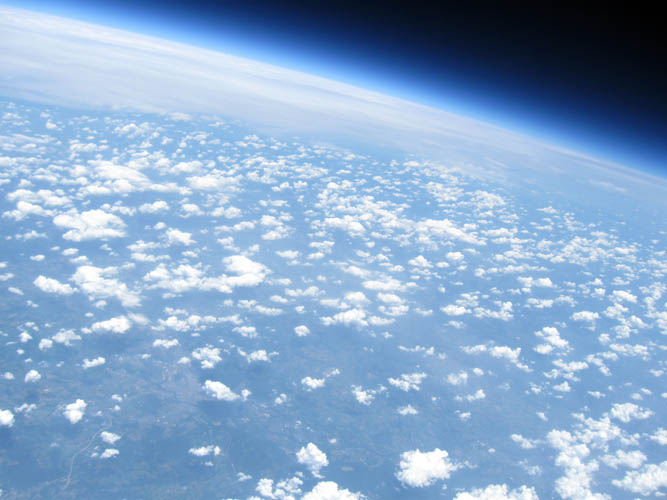
92,710 feet: Looking Northeast
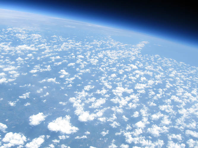
92,817 feet: Looking North
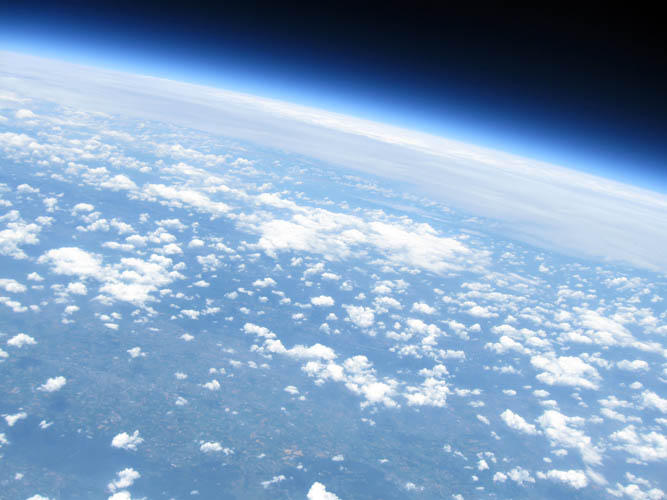
93,032 feet: APEX! Looking West
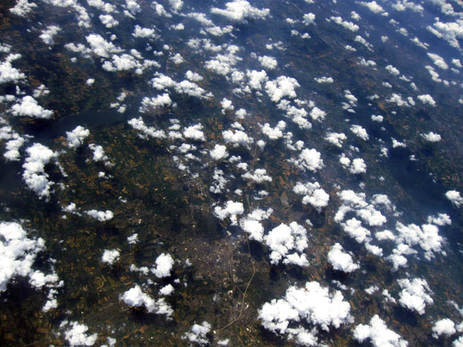
90,950 feet: Looking West immediately after burst showing Lancaster and Susquehanna River
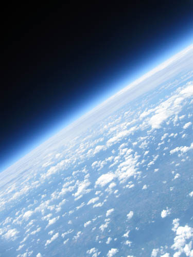
85,575 feet: Looking North at Reading and Route 222
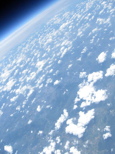
83,425 feet: Looking Northwest at Harrisburg
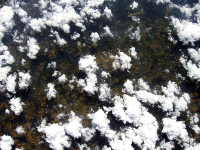
72,675 feet: Looking South at Octoraro Lake
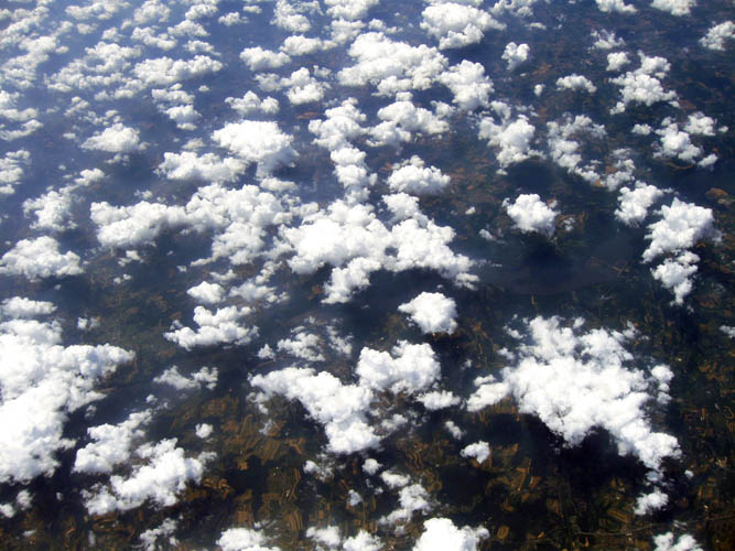
67,315 feet: Looking West at Susquehanna River and Safe Harbor Dam
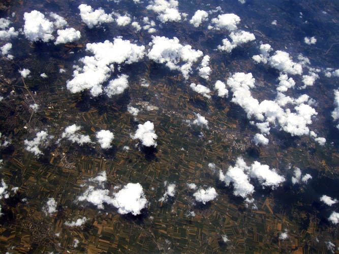
61,915 feet: Looking North at Leacock-Leola-Bareville and New Holland
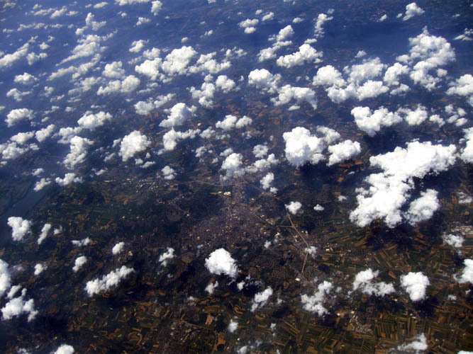
60,050 feet: Looking Northwest at Lancaster and Susquehanna River
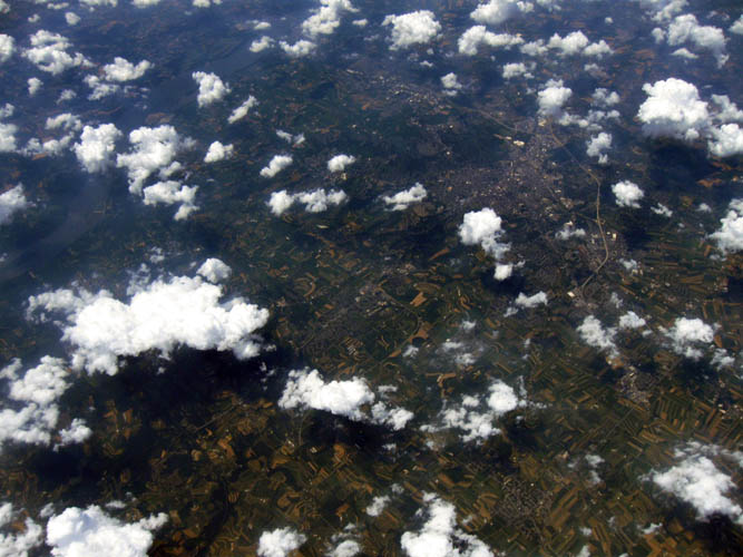
53,875 feet: Looking Northwest at Lancaster and Susquehanna River
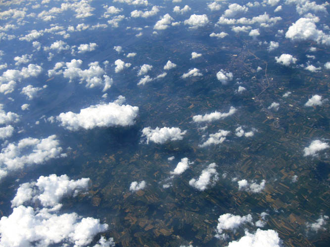
43,275 feet: Looking Northwest at Lancaster and Susquehanna River
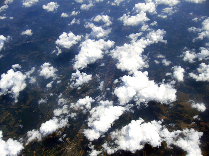
37,981 feet: Looking Northeast at Chester County Airport and Coatesville
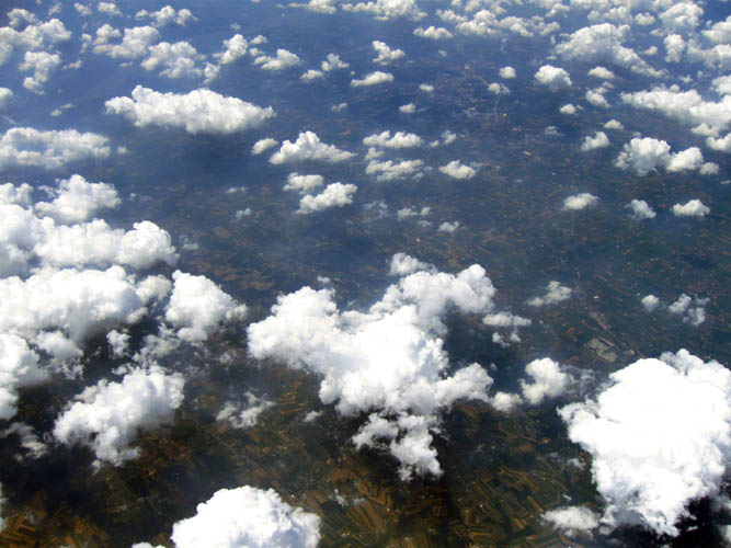
36,100 feet: Looking Northwest at Lancaster
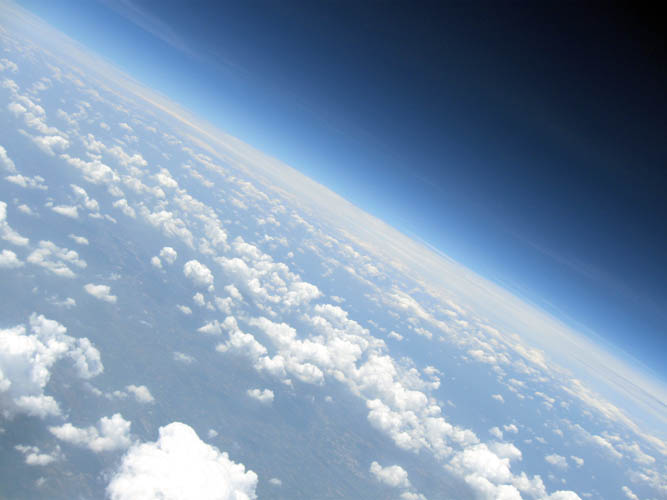
30,800 feet: Looking Northwest at Lancaster and New Holland

28,150 feet: Looking East towards the Ocean with portion of Route 1 near West Grove
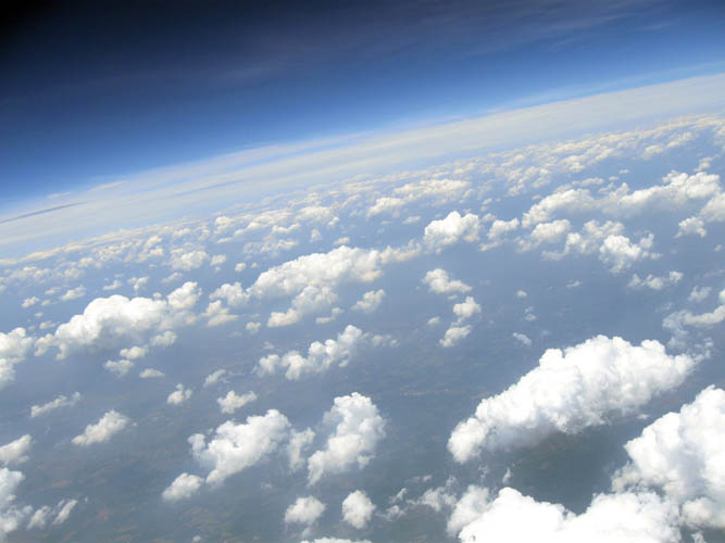
23,550 feet: Looking North??
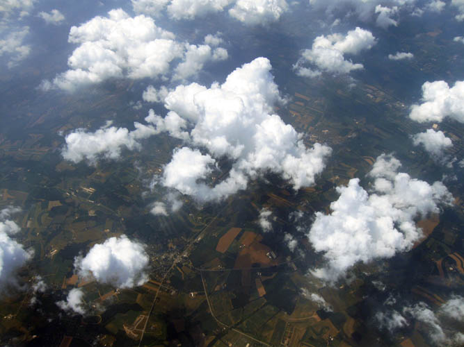
22,650 feet: Looking West at Cockranville
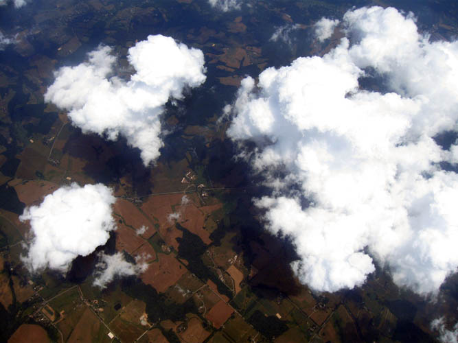
20,525 feet: Looking Northeast at Route 82
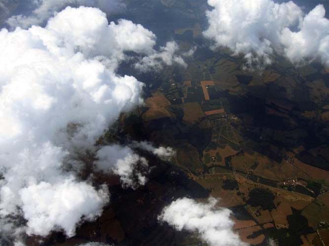
16,315 feet: Looking West at Route 841
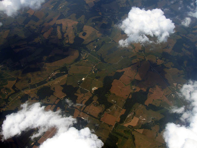
15,700 feet: Looking North
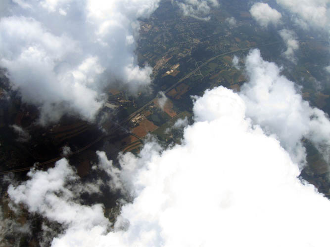
14,800 feet: Looking South at Route 1
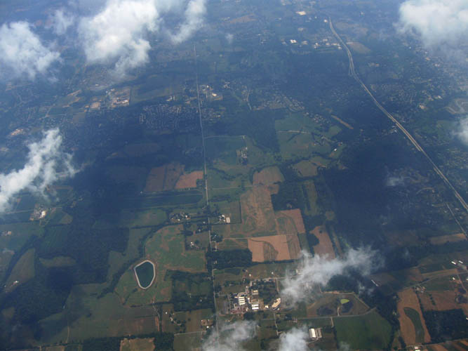
10,275 feet: Looking East towards landing location. Last photo before lens condensation occurred.
Select a Gallery: